You'll have to sweat a lot this last week of summer: peak heat in sight
Temperatures will be clearly above average with just one week left until the official arrival of autumn.
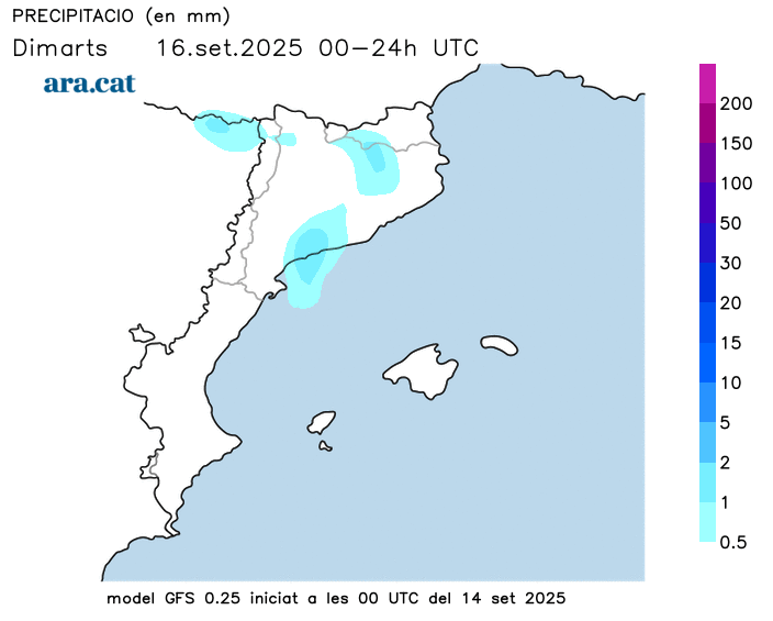
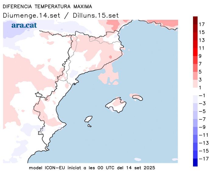
BarcelonaWe're leaving behind a weekend that ended much calmer and warmer than expected at this time of year, after the heavy storms and downpours on Saturday. This calm will continue today, with periods of low clouds and only a few afternoon showers in the northeast interior and the eastern Pyrenees. Temperatures will rise further, with a warm atmosphere. On Tuesday, the tail end of a worn-out front will cross us, causing a slight change in the weather, but this last official week of summer will be marked by calm and, above all, by a peak of warmth that will bring us summer temperatures clearly higher than usual for this time of year. Remember that next Monday, September 22, will officially mark the arrival of astronomical autumn.

Monday: cloudy intervals
The weather will be fairly stable on this first day of the week, although there will still be some low cloud cover concentrated in the southern and central coastal and pre-coastal areas—especially in the morning—which will also affect other parts of the country during the early hours of the day, especially central Catalonia. Midday will be generally quite sunny, but scattered showers could occur again during the afternoon in the eastern Pyrenees and inland northeast; all of this will be rare. It will be in the evening and at night that the clouds will increase significantly and more showers will form in the north, a prelude to the change in weather on Tuesday. Temperatures will rise further during the central hours of the day, repeating the warm atmosphere of Sunday midday, with highs of 26 to 31°C and muggy conditions on the coast, but 31 to 35°C in the West Bank and inland south.
Tuesday: showers in some areas
The passage of the tail of a worn-out front will cause the only change in the weather this week. There will be an increase in cloud cover throughout, but little rain is expected. Intermittent showers and thunderstorms will occur in the Pyrenees and Pre-Pyrenees, as well as inland areas. A few showers will also fall along the central and southern coast and pre-coast. Some locally strong, more significant downpours cannot be ruled out. All of this will cause a temporary drop in temperatures, although the warm and muggy atmosphere will remain during the central hours of the day.
A week too warm for the dates
Temperatures will rise today after a warm Sunday, but they will be especially so between Wednesday and Thursday, when highs could exceed 35°C or 36°C in Ponent and 30°C in other inland regions. We won't be talking about exceptional heat, but we will face the final stretch of the official summer with a September heat that will leave temperatures too high for the time. Next week, coinciding with the official arrival of astronomical autumn, changes could arrive, with more showers and a clear drop in the mercury.
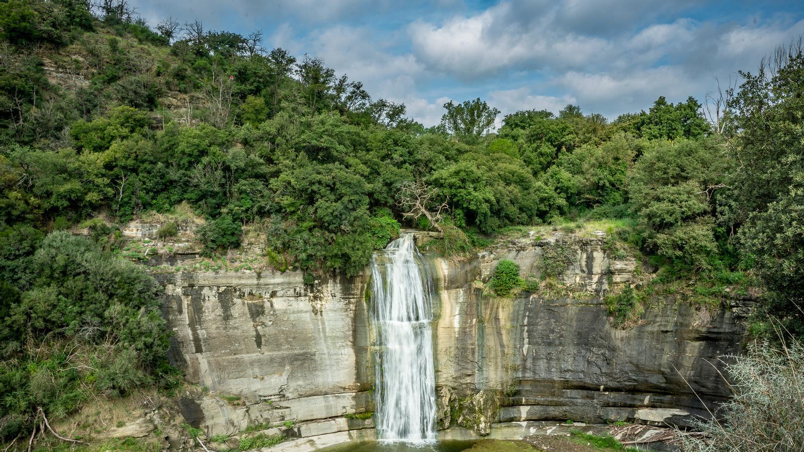
Saturday's storm report
A series of showers and thunderstorms swept across the northern half of the country for much of the early hours of Saturday morning, often accompanied by lightning, strong gusts of wind, and hail. The rainfall was torrential in some cases, setting a new Catalan record for accumulated precipitation in just one minute: 7.6 l/m² at 5:27 a.m. in La Quar (Berguedà). The 26.1 l/m² accumulated in five minutes in the same municipality is also a record, at least since rainfall per minute began to be recorded (2009). During midday and the afternoon, the heaviest rain was concentrated in the Barcelona area, especially in the Vallès Occidental and Baix Llobregat regions, as well as in the Montserrat area. Heavy downpours occurred, causing landslides and various incidents. These are the most notable precipitation records of the day:
- Martorell: 121 l/m²
- Castellbisbal: 97 l/m²
- Ruby: 94 l/m²
- Vilanova de Sau: 80 l/m²
- Sant Cugat del Vallès: 55 l/m²
- Girona: 53 l/m²
- The Quart: 52 l/m²
- Fornells de la Selva and Terrassa: 51 l/m²
- La Bisbal de Empordà: 48 l/m²
- Vic: 45 l/m²
- Sau Reservoir: 41 l/m²
- Orís: 38 l/m²
- Palafrugell: 37 l/m²
- Queralt Sanctuary: 36 l/m²
- Sabadell: 25 l/m²
