Núria Casacuberta Arola: "We've been legally dumping far more nuclear waste into the oceans for 50 years than was spilled at Fukushima."
Researcher and professor of physical oceanography and tracer technology at ETH Zurich (Switzerland)
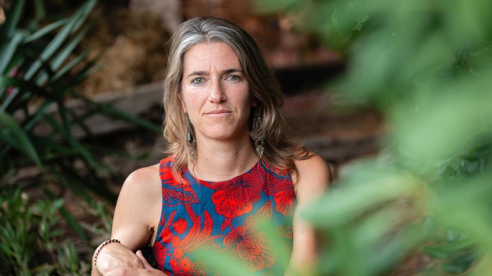
Núria Casacuberta Arola (Malla, 1982) is an environmental scientist, researcher, and professor of physical and tracer oceanography at the Swiss Federal Institute of Technology in Zurich (ETHZ). She uses radioactive isotopes released into the oceans to study ocean currents in the North Atlantic and the Arctic, and how climate change is modifying them, which will have profound implications for the Earth's climate.
In 2021, she was awarded a highly competitive ERC Consolidator Grant by the European Research Council to launch the Titanica project, with which he has mapped these tracers in the Arctic, which, along with the Mediterranean, is one of the planet's most vulnerable areas to the climate emergency. Nearing completion, it will be installed in 2026 in Barcelona, at the Institute of Marine Sciences (ICM-CSIC), for its continuation by Nautilica, a project funded by the Ramón Areces Foundation.
How did you start working in radioactivity?
— The Autonomous University of Barcelona was looking for someone for a project in Flix, where there's a factory that produces dicalcium phosphate for animal feed, an industrial process that concentrates a lot of natural radioactivity. In my PhD, I studied the flow of radionuclides at each stage.
Is this natural radioactivity dangerous?
— It's as much of a radioactive element as artificial radioactivity, and it exists everywhere—even our bodies have it—because it's a biochemical property. Living beings are made of carbon, and within this element are carbon 12 and 13, which are non-radioactive isotopes. But there's also carbon 14, which is radioactive, although it's present in smaller proportions than the others. It's used to date remains, such as a skeleton found at an archaeological site.
How did he jump from Flix to Fukushima?
— In 2011, a month after I finished reading my doctoral thesis, the Fukushima nuclear accident occurred. The Woods Hole Oceanographic Institution in Boston (USA) wanted to organize an international team to measure radioactivity in the Pacific Ocean, and my thesis supervisor offered me the opportunity to go. I didn't even hesitate! Since there were no research vessels available at the time, I remember they had to lend us one from Hawaii, a very old and rusty one. Kai'mikai-O-KanaloaAnd so began my story as an oceanographer.

What homework did you do?
— From the coast, we collected water at different coordinates and depths, which the team took with us to study each in their respective laboratories. In my case, back at the UAB, I spent three months analyzing strontium-90. In a nuclear reactor, the radioactive fuel contains primarily uranium-235, which is the isotope that generates fission and gives you nuclear energy. If you divide it, you get different products, some radiologically more dangerous than others because they can be incorporated into the human body or the animals we consume, such as strontium-90, which passes into the skeleton of any organism. In the case of Fukushima, it was important to know if it had passed into the fish consumed by the population and if there was a risk to humans. We also looked at iodine, which is incorporated into the thyroid and can cause cancer.
What did he find?
— The levels three months after the accident were thousands of times higher than those before the accident. Although they were not radiologically dangerous to the population, it was necessary to initiate a monitoring process to see if the radiation would accumulate in organisms. Since then, we have been going to Fukushima every year to measure, to understand the water movements and the ocean's capacity to transport and dilute these isotopes. It's paradoxical because, although all eyes were and are focused on Fukushima, the bigger problem lies elsewhere, and it's legal.

Are you referring to nuclear power plants?
— When a nuclear power plant hasn't burned all the uranium-235 in the fuel it used, it's taken to recycling plants, which reprocess it to create new nuclear fuel. In Europe, we have two such plants, one in France and one in England, which since the 1970s have produced a lot of nuclear fuel and generated a lot of radioactive waste, such as uranium-236 and fission products. From time to time, they dump this waste into the sea in a legal and controlled manner. In fact, they've released much more than Fukushima released after 2011...
How can this be?
— There are regulatory agencies that, in theory, establish the quantities safe that can spill into the oceans. Since reprocessing plants announce when they will make these discharges and how much they will dump into the sea, we take advantage of this for our research: it's as if they were throwing different-colored ducks into the sea. By measuring from the same points in the Arctic and the North Atlantic, we can calculate the transit time of the waters, how they mix as they circulate, where they disperse, and whether these measurements change over time. We combine different radioactive tracers—or colored ducks—such as uranium-236, iodine-129, carbon-14, and other radionuclides that come out of these nuclear reprocessing industries.
How do you use these radioisotopes to study the climate crisis?
— I'm leading Titanica, a European Commission-funded project in which my group at ETH Zurich and I have mapped these isotopes in the Arctic and North Atlantic Oceans and have begun to trace their paths, transit times, and mixing. Now we have a map, and the next step will be to establish temporal variability to precisely see how the currents have changed. We will do this in the Titanica follow-up project, which will end in the summer of 2026. It's called Nautilica and I will be carrying out it at the Institute of Marine Sciences (ICM-CSIC) in Barcelona. At the moment, we are already seeing changes in the way Atlantic waters circulate and mix in the Arctic.
What changes?
— The Arctic was once a highly stratified ocean, with a layer of ice, a layer of cold, fresh water on the surface, and a layer of salinity separating these frozen surface waters from the much warmer Atlantic waters, which enter the Arctic confined at a depth of about 200-600 meters. With the climate emergency, these Atlantic waters are increasingly warmer, dissolving this saline protection that the Arctic has, catalyzing the thawing process. In other words, the melting is not only due to atmospheric heat; the waters entering from the Atlantic are warm enough to melt the ice.
Why do you focus on studying the Arctic?
— Because it's the ocean that's changing the fastest. Being very confined and small, the effects of global warming are amplified, as is the case with the Mediterranean. Furthermore, it's connected to the North Atlantic, a crucial area where deep water formation occurs. There are these channels where waters arriving from the Arctic, which have cooled and densified because the Arctic is like a refrigerator, go to the depths of the oceans, causing the oceans to continue rotating permanently. The Atlantic is a key point for this deep water formation. Hence, in part, the plot of the filmTomorrow (2004), which is based on the idea that if all this deep water formation movement stops, the entire northern hemisphere will freeze.
Plausible?
— The film is an exaggeration, but scientists have been studying the effects of this global warming within this ocean circulation belt, whether this current stops or not. And that's what we're trying to answer. We're focusing on the Arctic and the North Atlantic because they're currently the most vulnerable areas. If they change too much, the entire Earth's climate will change. Curiously, there are still many areas of this ocean that flows around the North Pole that we don't know well. That's why this year we'll go to the Lincoln Sea, in northern Greenland, with the German icebreaker research vessel. Polarstern, to study and try to understand precisely the exit of fresh water through the Fram Strait, located between Greenland and the Norwegian archipelago of Svalbard.
It is a privilege to be able to access these unexplored and beautiful places on the planet.
— We don't do this for tourism or to access places no one has ever been to, but rather out of a passion for understanding things that are still unknown. I'm doing science, trying to provide answers to society, and I'm fortunate to do so in a fantastic landscape. Although participating in one of these scientific expeditions, for at least a couple of months, living with 80 or 100 people 24 hours a day, isn't as bucolic as it may seem. You can only endure it if you really love the work you do.
Do you remember any anecdotes from any expedition?
— In 2015, three expeditions coordinated by the Geotraces program departed from different parts of the planet to sample various locations in the Arctic. The Europeans set out with the German ship. Polarstern from Tromsø, Norway. The Americans departed from Alaska, and the Canadians covered the entire Canadian archipelago. On September 8, we were approaching the North Pole, which is nothing more than a coordinate, where there is nothing more than a floating ice sheet at 90°N. To our immense surprise, upon arrival we saw the American ship.
Had they stayed?
— Although the Arctic is small, it's actually a very large ocean, and we happened to be on the same day at a coordinate where we were only there for 24 hours and still going. We hadn't planned it. The funny thing is that we arrived in the morning, but for them it was their night. We were at the same geographical point, with a 10-hour difference between our clocks and theirs. I went down to the ice and went up to the American ship to greet a good friend who was working in the lab and hadn't realized that Polarstern He was outside. He was so focused and half asleep that when he saw me come in, he thought I was hallucinating. He didn't realize it was really me until I hugged him. It was very exciting.
